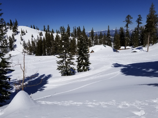
March 15th: Looking over snow-covered Echo Chalet towards Tahoe
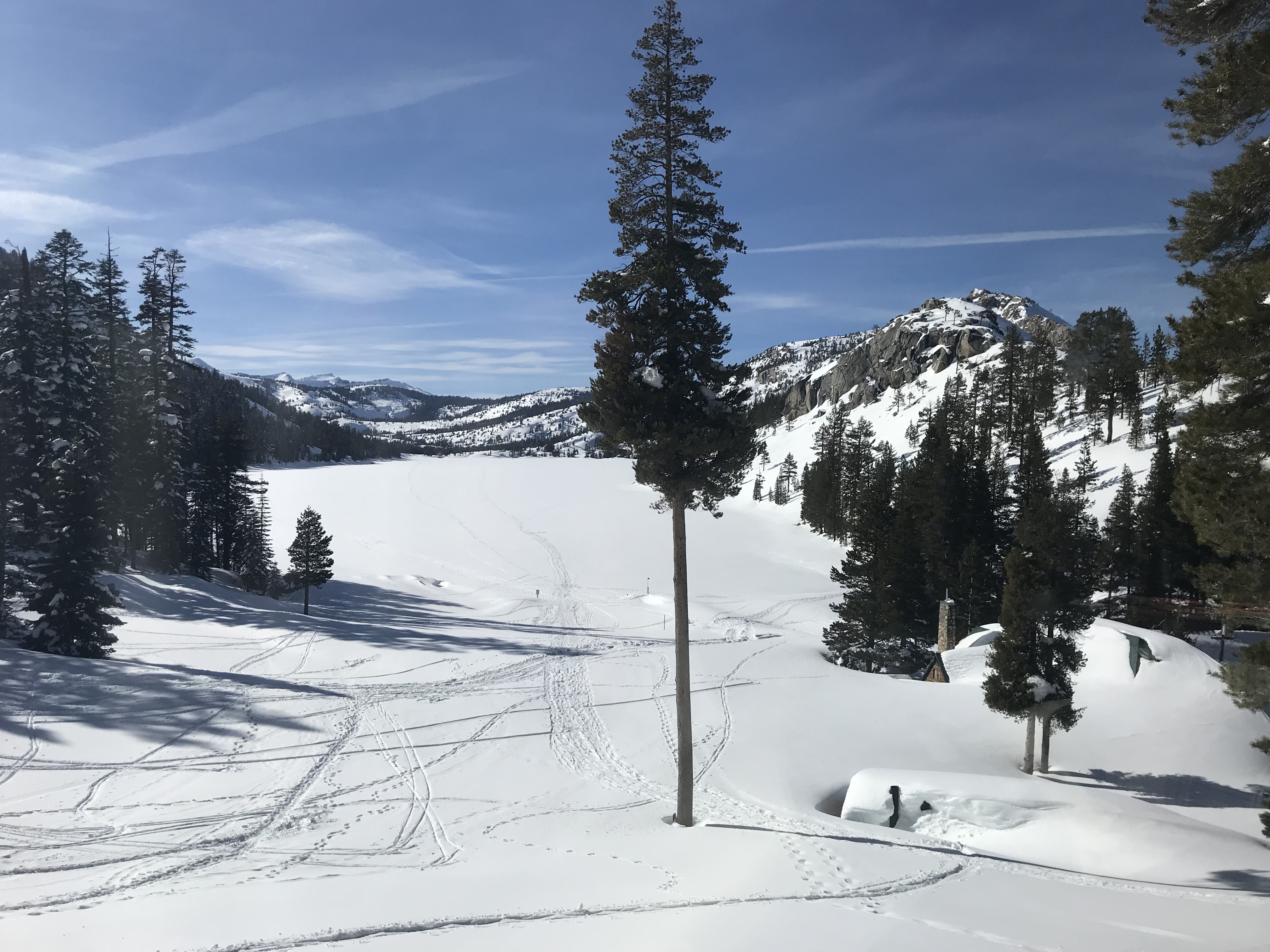
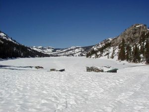
Lower Echo Lake with toilets and Chalet in right foreground 3/15/2019
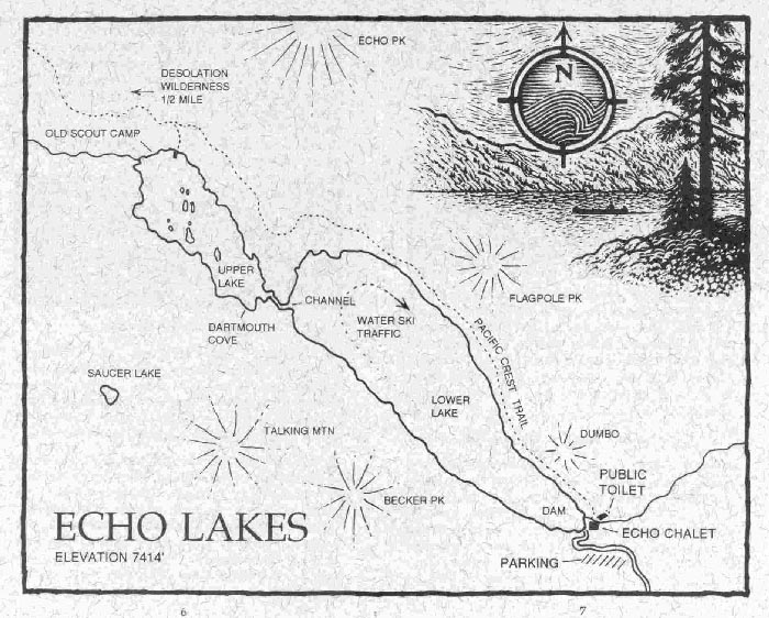
Upper and Lower Echo Lakes are connected by a narrow channel which is passable by boat only during high-water conditions. The dam on Lower Echo Lake allows for storage of six feet of surface water (about 1,800 acre feet). This water is owned and managed for commercial purposes. The lakes are frozen in winter, and the channel becomes navigable when the first 4 to 5 feet of water are stored behind the dam (usually late May or early June). The channel remains passable until the top 2-3 feet of water are drawn down in the Fall.
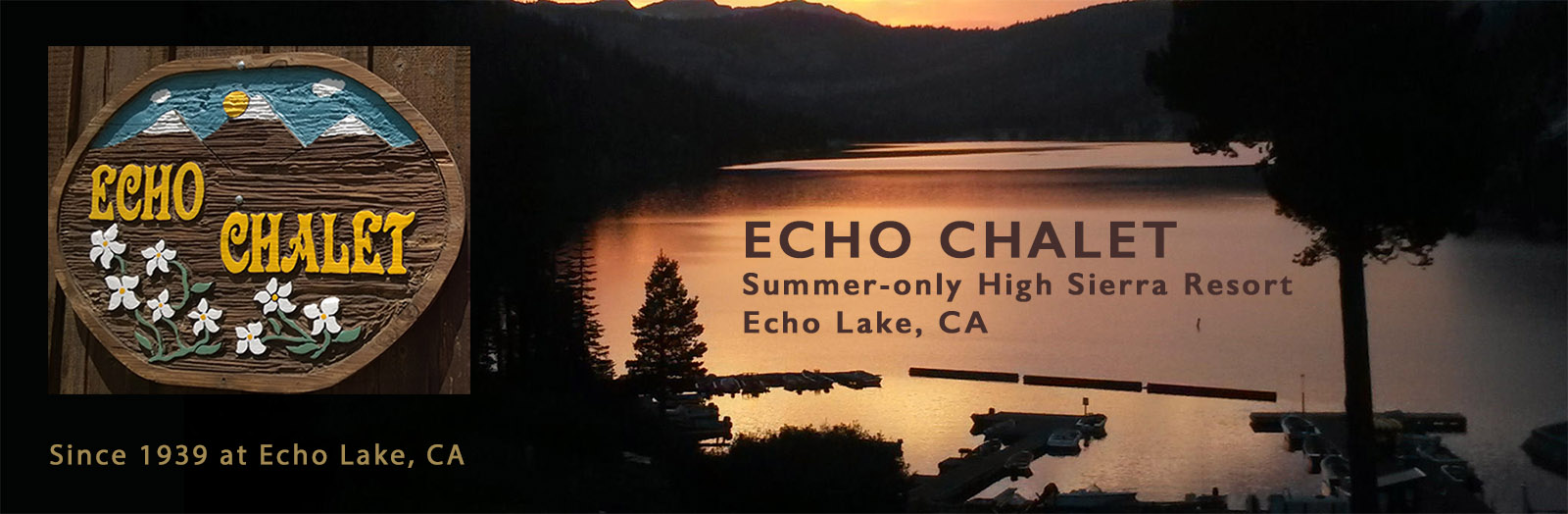
The Echo Lakes community includes Echo Chalet (the resort, store, deli-fountain, marina, and seasonal post office), over 100 summer residences (located on US Forest Service or private lands), and many welcome visitors. Echo Lake is an ideal place for your mountain vacation. The Chalet’s housekeeping cabins (“Chaletlees“), rustic but comfortable, have wide porches with beautiful views of the lake and mountains. For evening entertainment and a change of pace, there is the excitement of South Lake Tahoe.
The Desolation Wilderness Area covers 63,960 acres and includes more than 50 lakes and streams within its borders. It is jointly administered by both the Eldorado National Forest and Lake Tahoe Basin Management Unit. The land which became Desolation Wilderness was part of the Lake Tahoe Forest Reserve, established in 1899. In 1910, when the first tourists were beginning to make their way over the narrow dirt roads of Echo and Donner summits, the area was made part of the newly formed Eldorado National Forest. In 1931, the area was named the Desolation Valley Primitive Area and in 1969 Desolation Wilderness was Congressionally designated and included in the National Wilderness Preservation System. Huge masses of granite, forests of red fir, hemlock, pine, and juniper abound. Lush meadows alive with wild flowers and clear blue lakes give the area spectacular beauty. The Crystal Range, a score of other lofty peaks, the Rubicon River, and many sparkling streams are contained within the Wilderness Area. Elevations range from 7,414 feet at Echo Lake’s dam, to 9,984 feet at the top of Pyramid Peak. With the use of the taxi boat service from the Chalet/Marina to the trailhead at the far end of Upper Echo Lake, it is possible to explore and fish several of the near wilderness lakes in a single day. This beautiful country is quite open and free of brush, such that it is not necessary for experienced hikers to stick to main trails. Plan routes to take in lakes off the beaten path; you’ll find beautiful places to picnic, swim, and fish. All the higher ridges and peaks are well worth climbing for wonderful views of Lake Tahoe and the surrounding area.
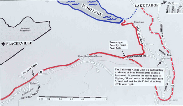
Directions to Echo Lake
From the Bay Area: Take Highway 80 East to Sacramento, then continue East on Highway 50 through Placerville and towards South Lake Tahoe.
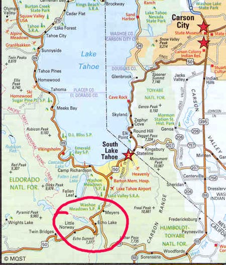
1.8 miles east of the Sierra at Tahoe Ski Resort, look for the brown Berkeley Camp / Echo Lake sign. Turn left. Continue about 1/2 mile to Echo Lakes Road, turn left again and continue to the end of the road. If you come to a turn-around at the California Alpine Club (red building), you missed Echo Lakes Road by about 1/4 mile. If you happen to miss the turn off from highway 50, the first thing you will see heading east is Little Norway on your left. You should turn around because the exit is back about 300 feet (now on your right). If you go further east you will see a “Snow Park” sign on your right, and a Cal-Trans yard on your left (just before starting down Meyer’s Grade. You should turn around and head back down (west), and look for the exit just after Little Norway. Obviously, it is fairly easy to miss the brown Berkeley-Camp / Echo Lake sign.